Data foundation · Survey Ops
Ingest. Catalog. Retrieve.
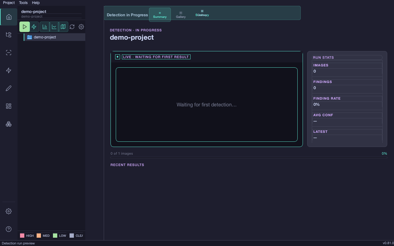
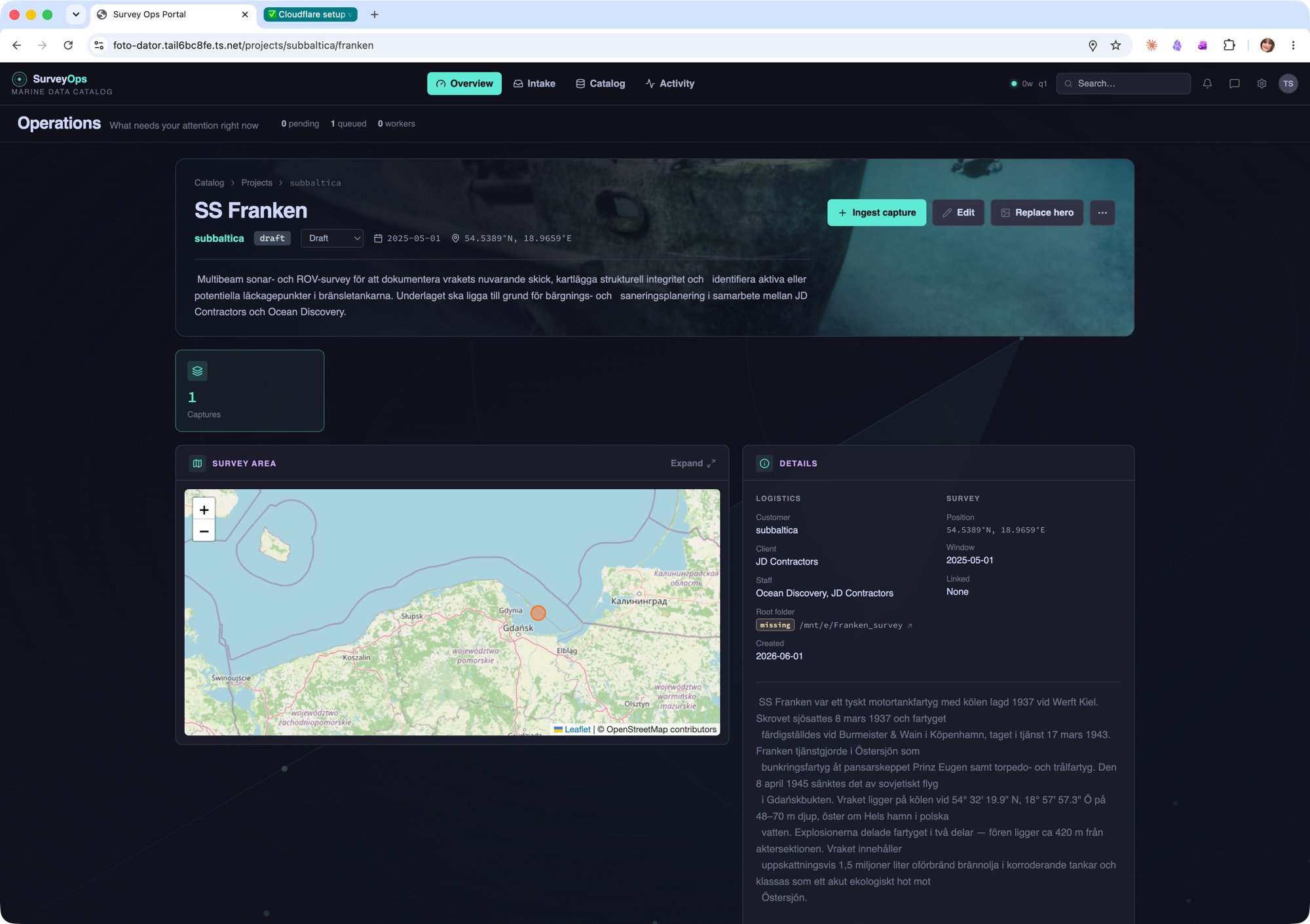
Survey Ops is a local-first data catalog and ingest platform for marine survey data. Every capture from field device or vessel travels through inbox staging, operator approval, and canonical project storage — fully catalogued, geotagged, searchable, and ready for downstream analysis.
- · Resumable field upload over Starlink (tus protocol)
- · Inbox + operator approval workflow
- · USBL geotagging — writes real GPS positions onto images
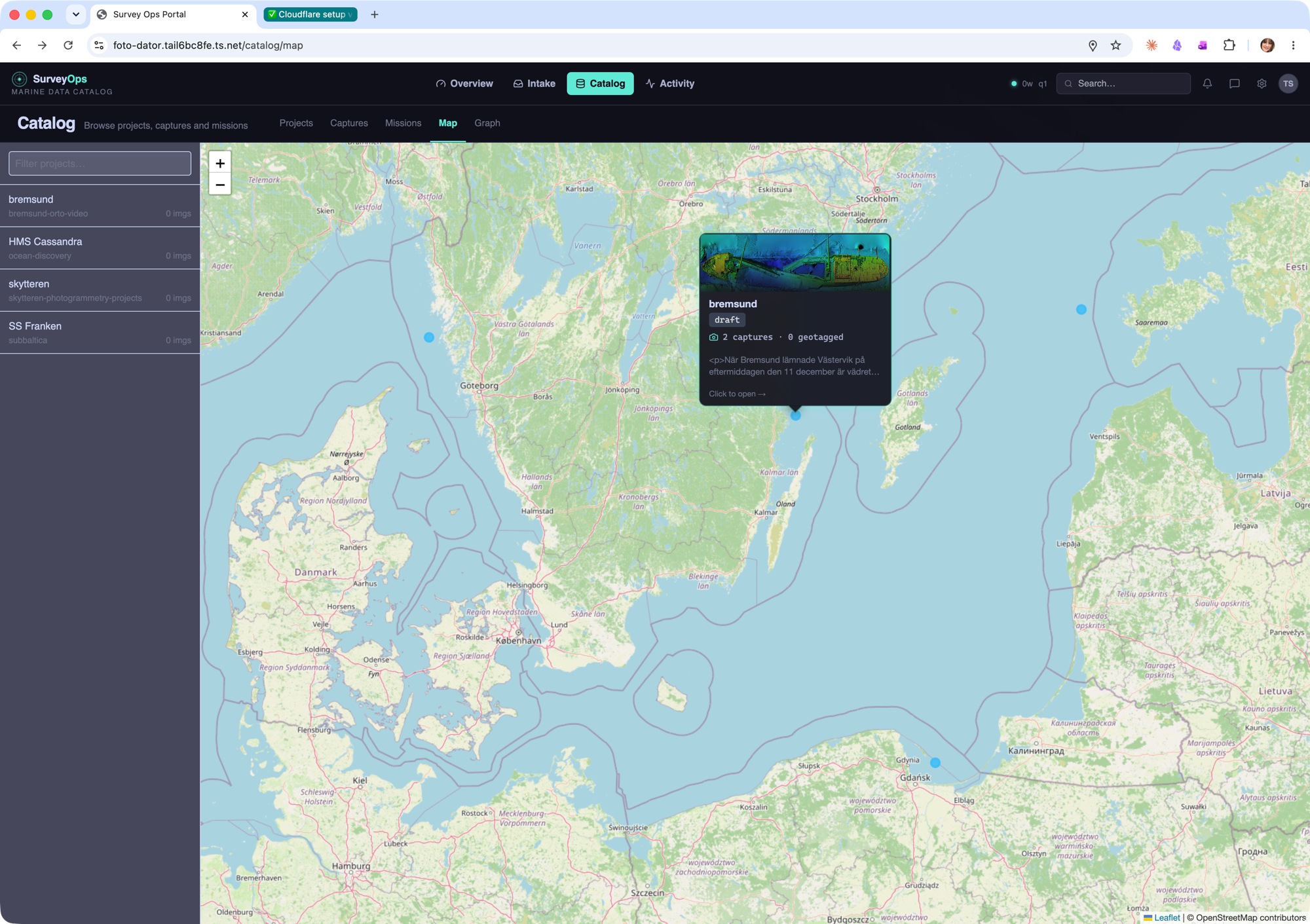
- · Geospatial map view (PostGIS + Leaflet)
- · Natural-language RAG search with source citations
- · Offline-first — runs on operator hardware, no cloud dependency